Frozen archive. The current wiki is at https://wiki.themanaworld.org while a migration back to this site is being prepared.
File:ManaWorldMap.jpg
From The Mana World

Size of this preview: 696 × 599 pixels. Other resolution: 1,000 × 861 pixels.
Original file (1,000 × 861 pixels, file size: 480 KB, MIME type: image/jpeg)
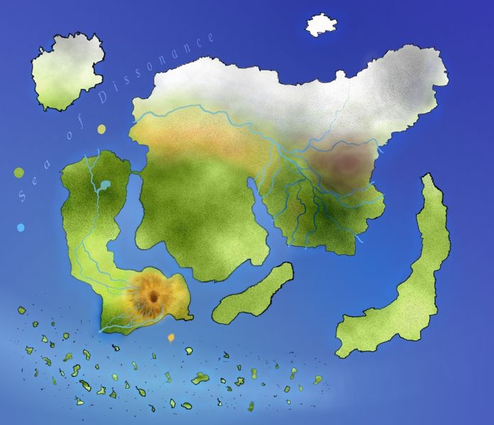
This is an unfinished image of the Geographical Worldmap created by Pauan. It was made by studying, compiling, and executing information from the Kingdoms, Landmarks, and World History pages on this Wiki; utilizing the information in GIMP.
Percentage Completed: 37%
Note: Yes, it's in .jpg format. In the final release, it will be larger and in .png.
File history
Click on a date/time to view the file as it appeared at that time.
| Date/Time | Thumbnail | Dimensions | User | Comment | |
|---|---|---|---|---|---|
| current | 12:06, 26 August 2006 | | 1,000 × 861 (480 KB) | Pauan (talk | contribs) | I added a nicer outline, Shaede, Astra, a revised river system, more detailed shading... etc. etc. |
| 01:40, 22 August 2006 | 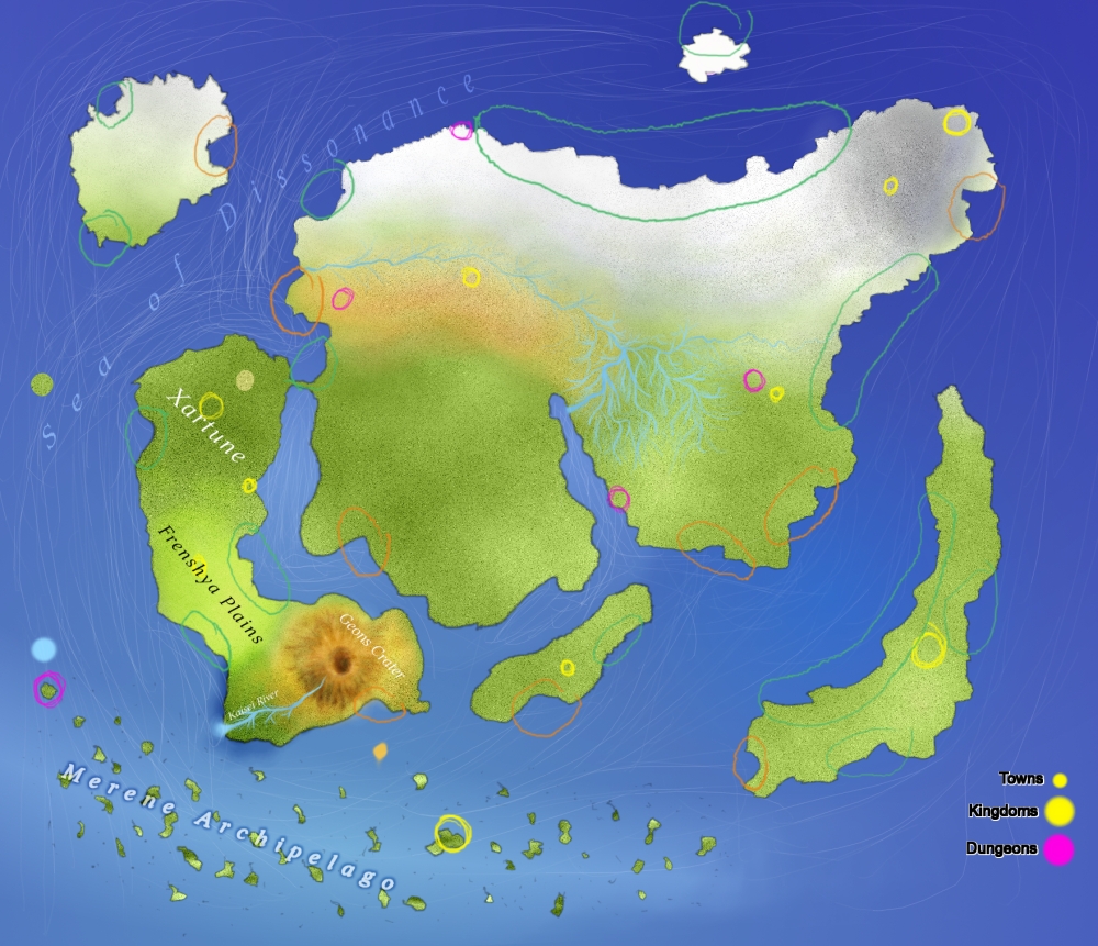 | 1,000 × 861 (575 KB) | Pauan (talk | contribs) | I added some scribbly lines to indicate the ocena currents... green and orange circles to show good and bad places to place a port... added a river system, removed the border lines... sketched in Tempus Keshlam. Etc. | |
| 14:55, 19 August 2006 | 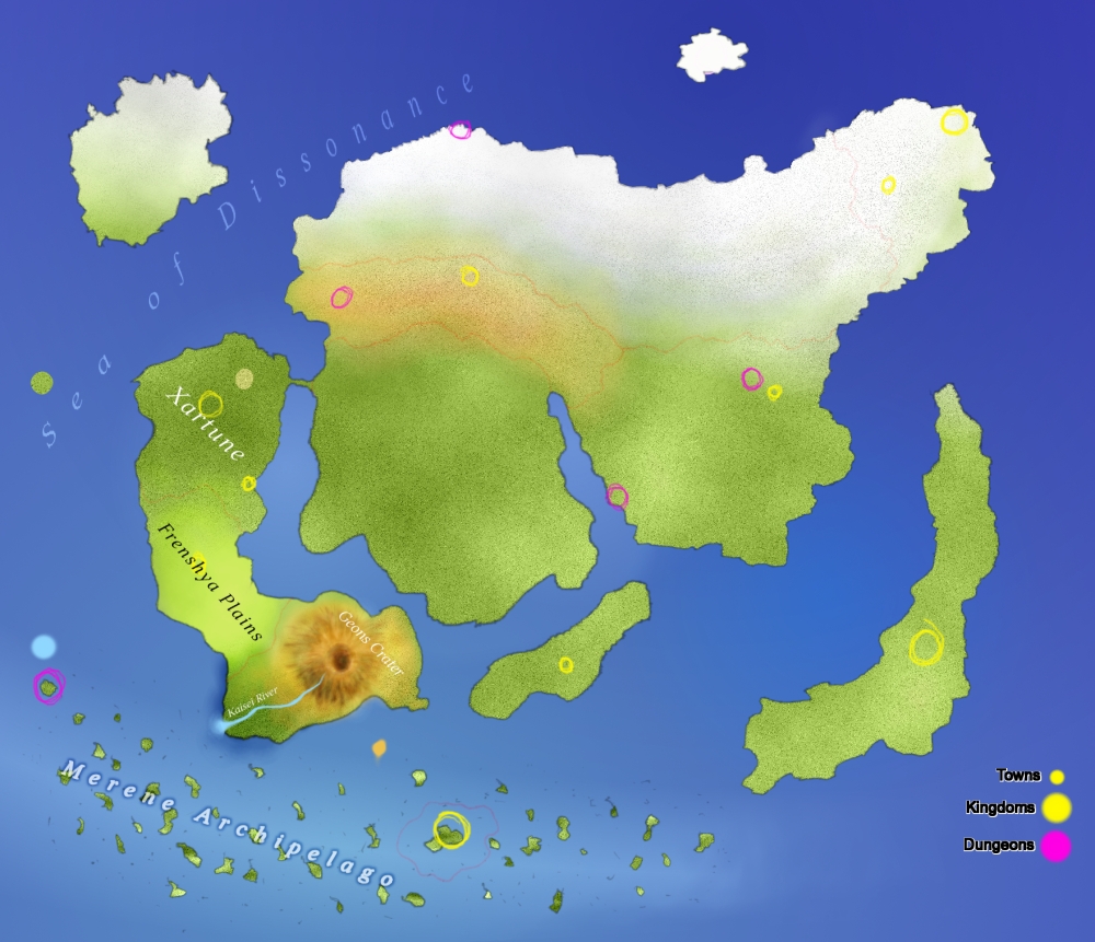 | 1,000 × 861 (457 KB) | Pauan (talk | contribs) | Please excuse the graininess. Most of it will be removed in the final version. I had to include it for the sand though. I also added some more gradiation, among other things. | |
| 10:27, 19 August 2006 | 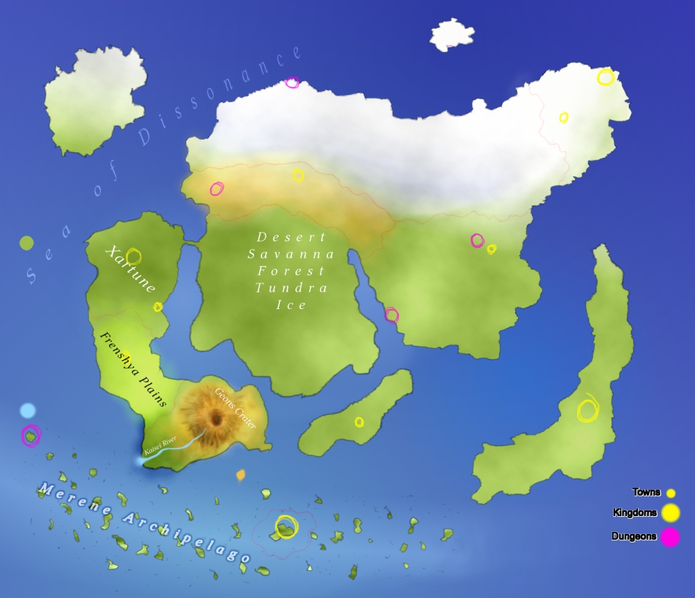 | 1,000 × 861 (349 KB) | Pauan (talk | contribs) | I still have a long way to go... I have to add a lot. There will be a nicer transition from sand to ice in the next version, I promise! I also lessened the primary shading, though I haven't changed the bad text yet... | |
| 05:53, 18 August 2006 | 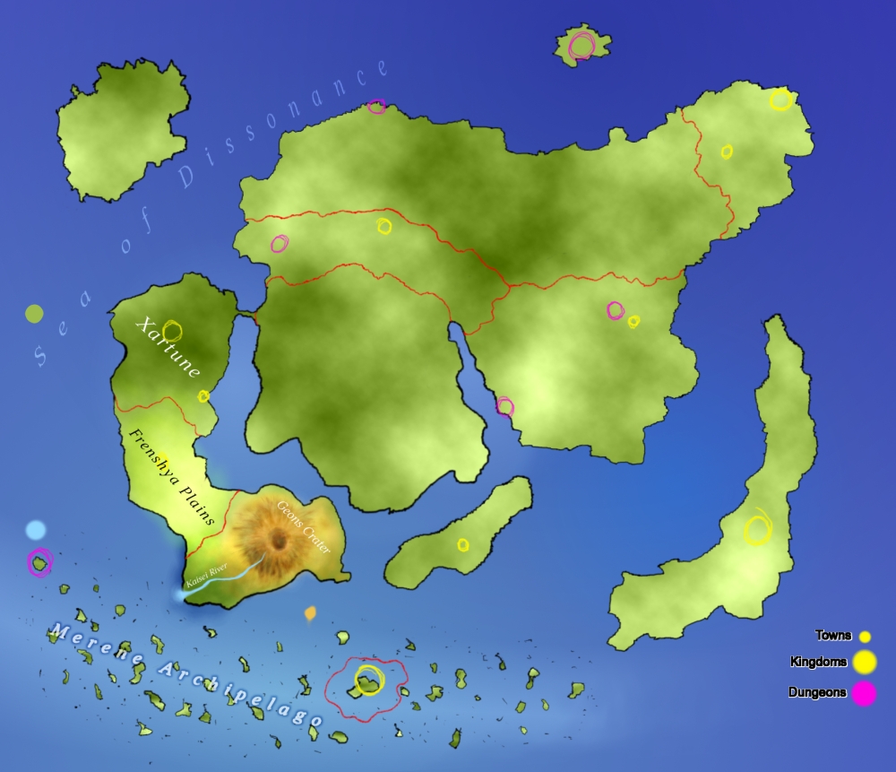 | 1,000 × 861 (374 KB) | Pauan (talk | contribs) | Yes yes... it's rather cluttered and messy. Please bear with me, seeing as how this is a work in progress. Obviously the first thing you should notice is that I added primary shading to the whole thing. This is just some basic shading that helps define th | |
| 09:01, 17 August 2006 | 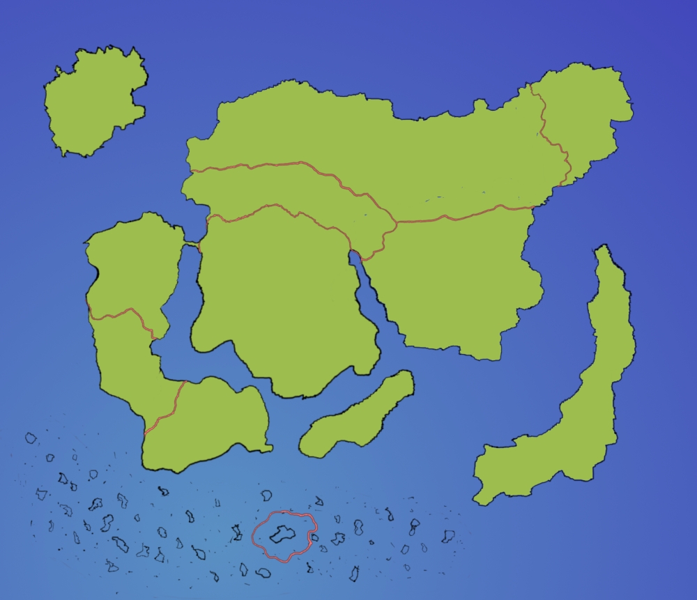 | 1,000 × 861 (258 KB) | Pauan (talk | contribs) | This is an unfinished image of the Geographical Worldmap created by Pauan. It was made by studying, compiling, then executing information from the Kingdoms, Landmarks, and World History pages on this Wiki, then utilizing the information in GIMP. Note: I |
File usage
The following page uses this file:
